Exploration Fabric of Africa (EFA)
and
Exploration Fabric of South America (EFSA)
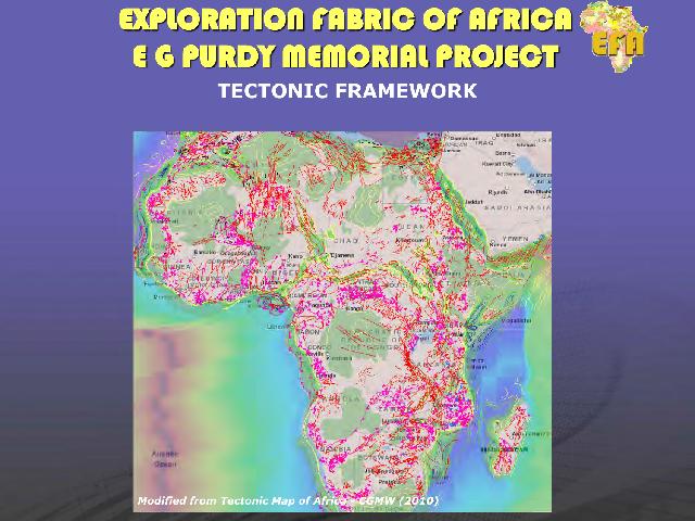
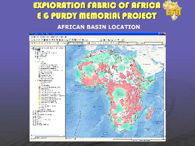
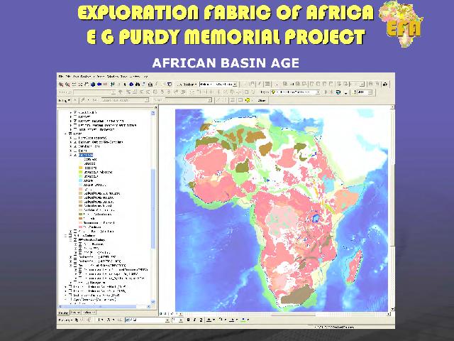
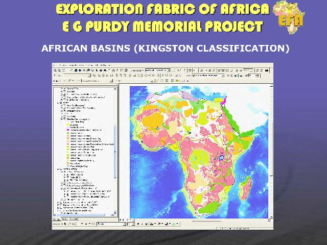
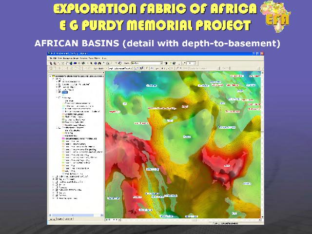
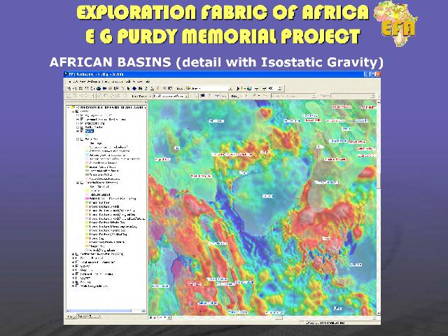
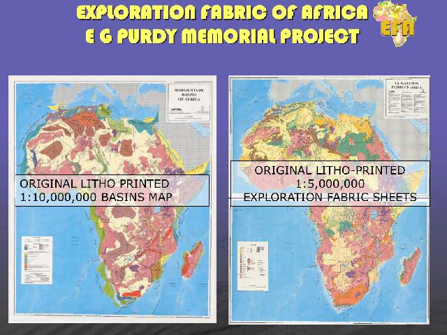
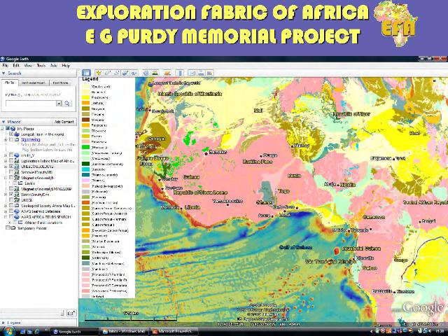
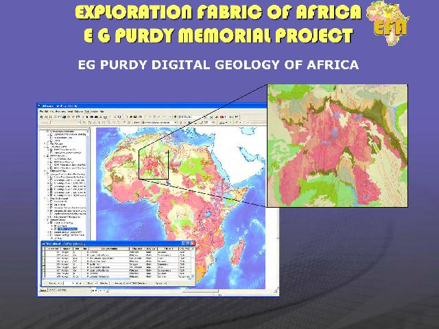
The Exploration Fabric of Africa (EFA) project was initiated in 2010 as a memorial to the life and work of Dr. Ed Purdy, an acclaimed geologist who built a reputation as a carbonates specialist during a long career both with Exxon and as an independent consultant. The objectives of the EFA were to update a set of pioneering maps on Africa that Dr. Purdy authored and published in 1989. These were masterpieces of hand-crafted work, combining geology, tectonics, basin outlines, hydrocarbon discoveries and extensive use of annotation and color coding to highlight the known working plays across the continent. The EFA project entailed the digitization and enhancement of these maps as a multiplatform GIS, and was carried out on a pro-bono basis by a group of former friends and colleagues of Dr. Purdy, led by Peter Wigley.
The GIS version of the EFA was completed in 2014 and succeeded in paralleling the achievements of the original maps (1,000 copies printed) with over 44 sponsors by 2015, implying desktop access to the project for hundreds of users. Contributions were made to the charities Africa Now and MapAction from the surplus funds, and several sponsors elected to nominate African universities to receive copies of the project to show support for in-country operations. A dedicated website was set up (www.efafrica.com), through which sponsors could download the latest updates and access a live WebGIS of the work.
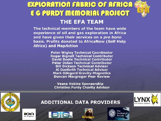
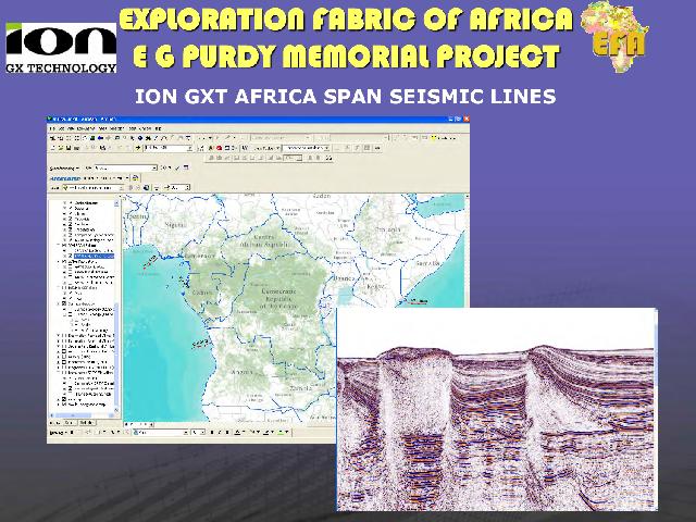

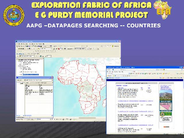
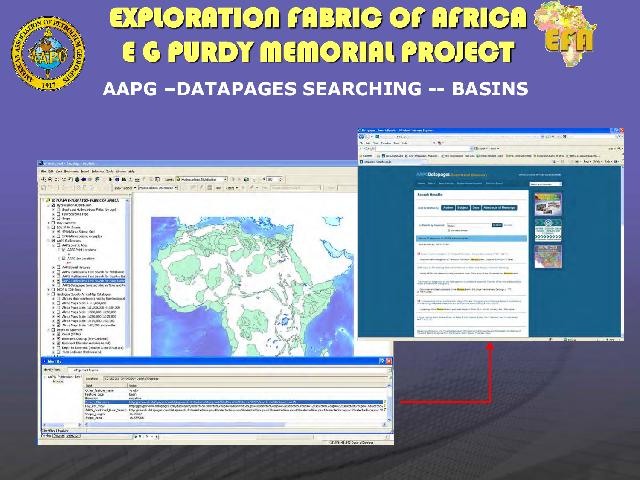
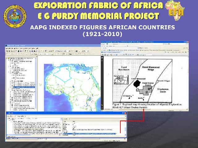
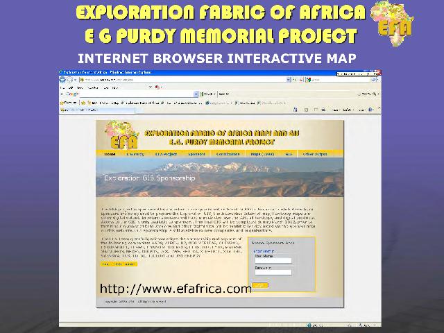
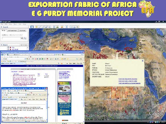
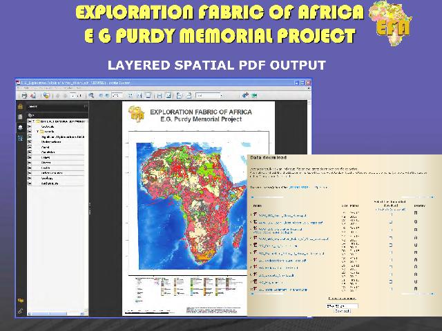
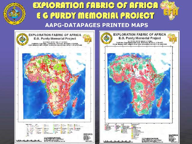
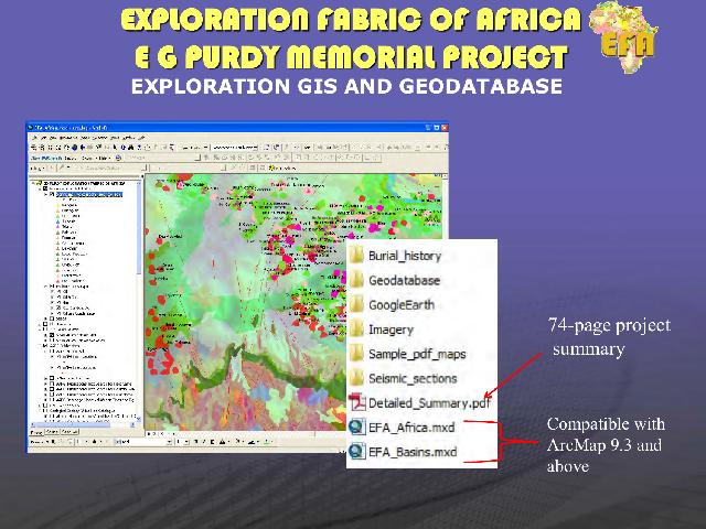
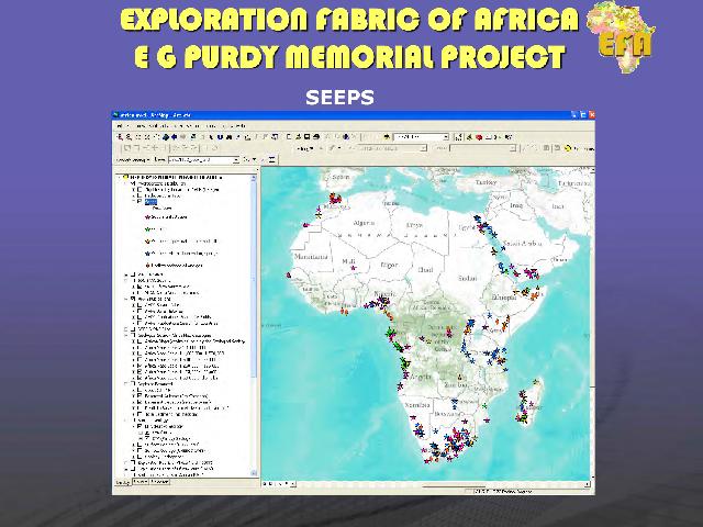
Lynx were one of the main contributors to the project, and were charged with the creation and publishing of the WebGIS side of the work, plus ongoing maintenance and delivery of all digital content. Final versions of the updated maps were made available for printing from AAPG Datapages.
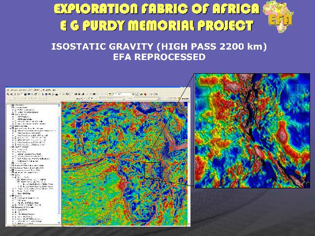
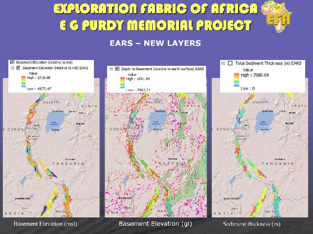
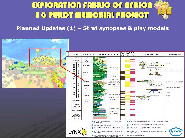
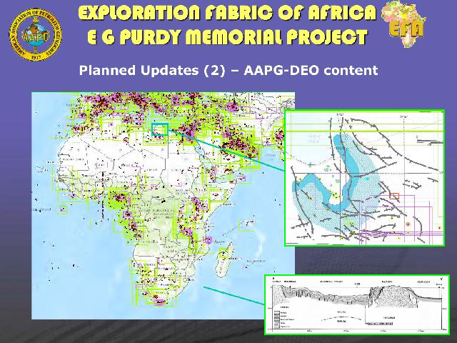
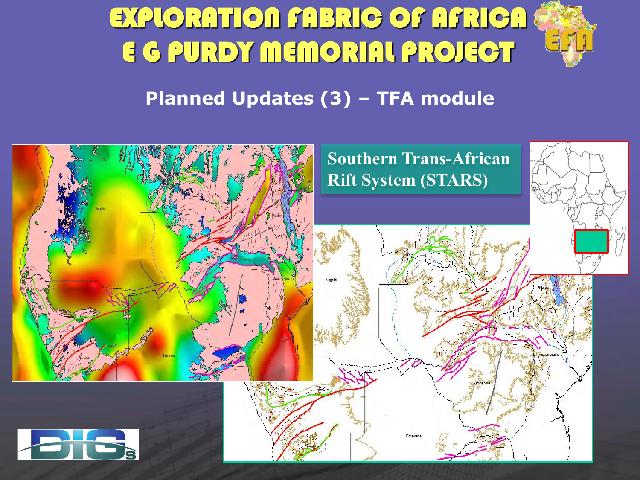
The overwhelming positive response to the EFA has since spurred ideas amongst the team for ways to keep the project evolving, and a number of new initiatives are currently being followed; one involves the drafting of a series of new cross sections and play summary diagrams across each basin and is being overseen by Lynx. A second initiative launched by Bill Dickson (DIGs) and Jim Granath is to synthesize the tectonic history and interplay of the multiple rift systems of the African Plate (including the Middle East) in order to improve our understanding of their controls on the development and life cycle of rift-related hydrocarbon systems. These new interpretative modules will be made available as add-ons to existing EFA subscribers.
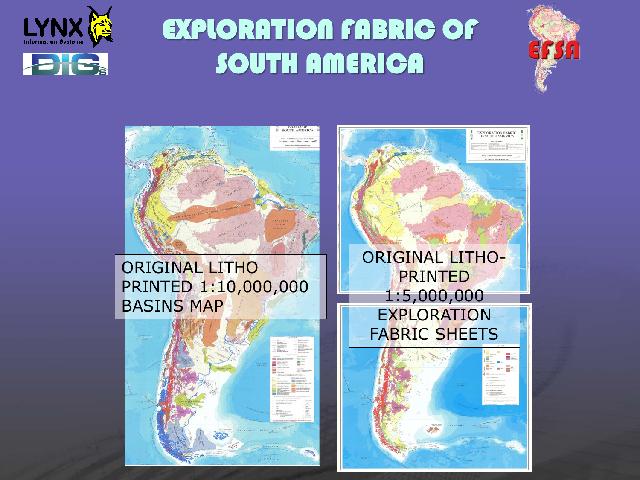
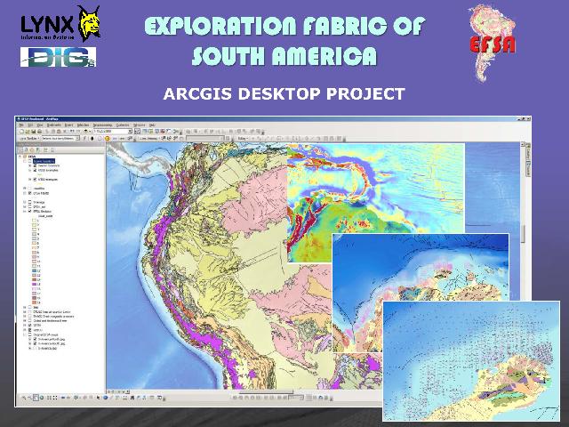
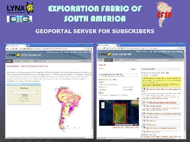
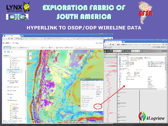
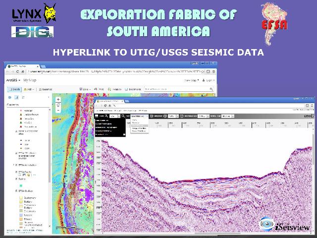
Moving across the Atlantic, Dr. Purdy also authored a set of analogous maps on South America, and compelling reasons justify an Exploration Fabric of South America (EFSA) project. Work on EFSA started in earnest in late 2015 and is now in the final stages of completion. As with the EFA, the project will be available at a relatively low cost to industry and with mostly unrestrictive use of the data. Access is to the project will be enhanced with the deployment of an online Geoportal hosted by Lynx, coupled with our web viewers for displaying seismic and well log data. This will make available all component layers for streaming to client desktop applications, helping to keep the project alive and growing while simplifying data sharing and usage.